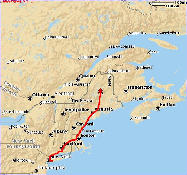
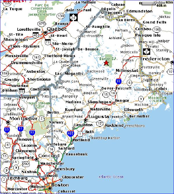

Wednesday: Arrival at Baxter
Park (star in upper center of map
at left). Mt.Katahdin in distance.
Looking at moose on way in
Taking picture of moose

Moose (in center of picture)
higher resolution picture in
new window;
Close new window or click in
bottom bar to return.
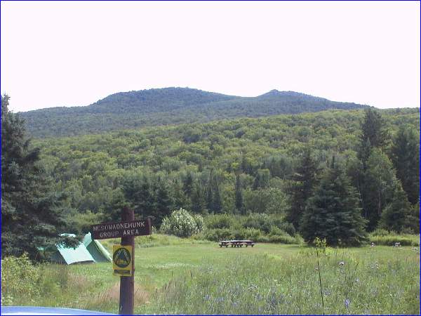
Campsite (Mt.Doubletop in back)
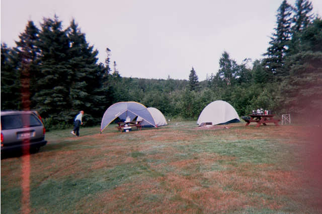
Campsite set up
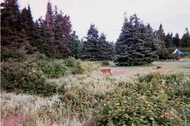
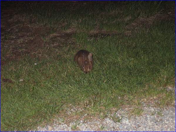
Visitor to campsite.
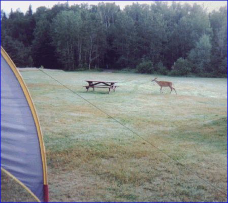
Unfortunately dinner was
not yet on the table.
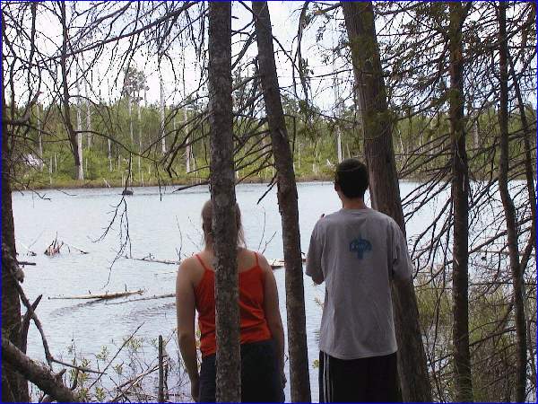
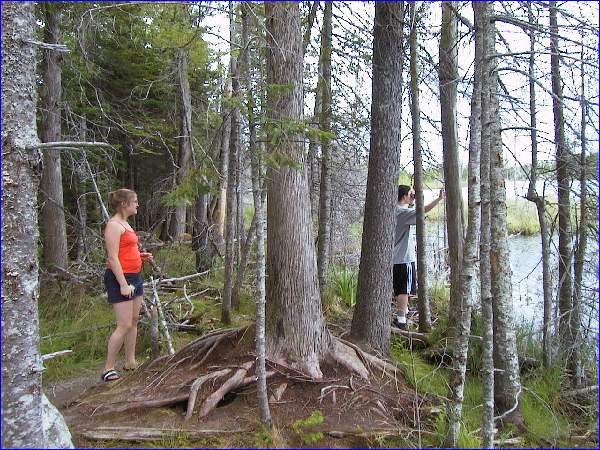
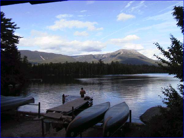
After setting up camp we drove
to a nearby lake
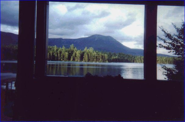
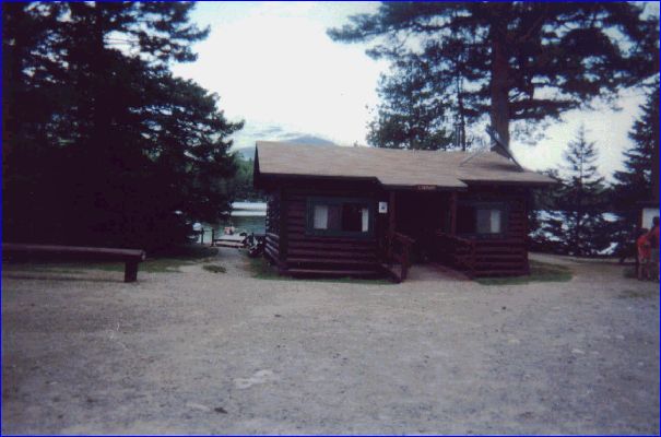
View from porch of "Library"
(Mt. Katahadin in background)
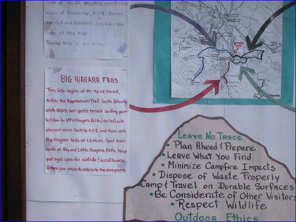
There we took a short hike to
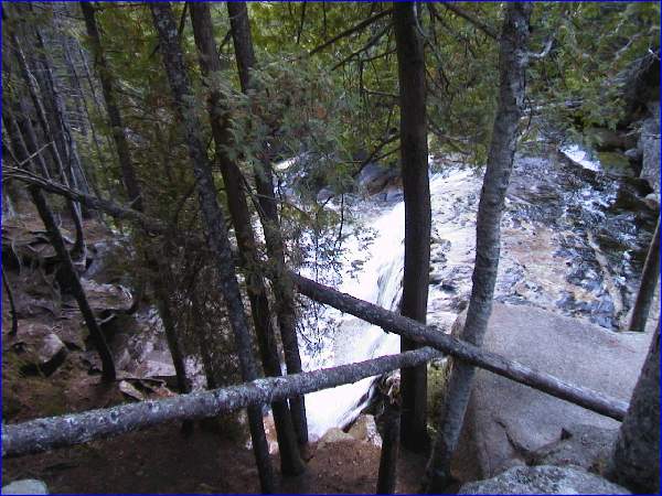
Little and Big "Niagara" Falls.
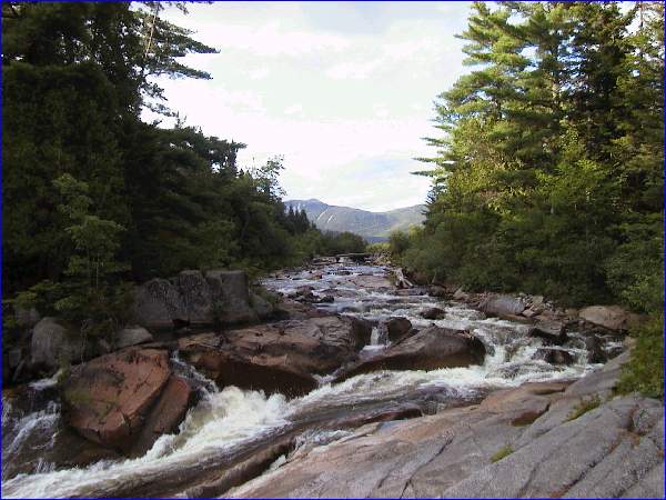
Little Niagara Falls
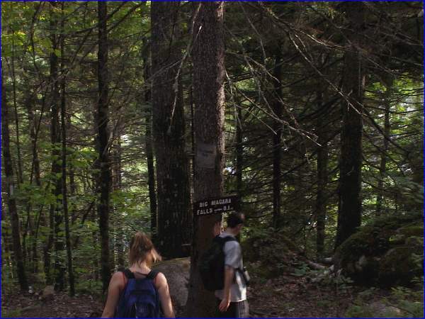
On the A-T to Big Niagara
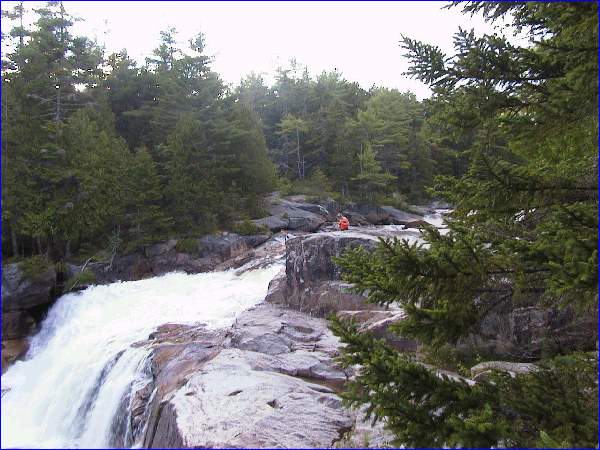
Big Niagara Falls
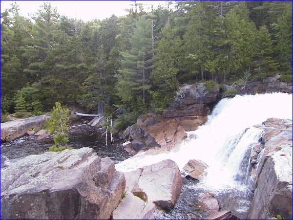
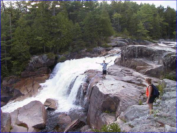
Big Niagara Falls
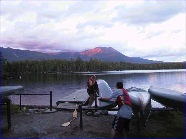
After the hike we went canoeing
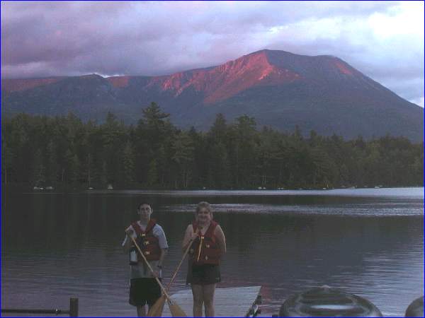
just at sunset
Click on thumbnail to view higher
Close new window or click in
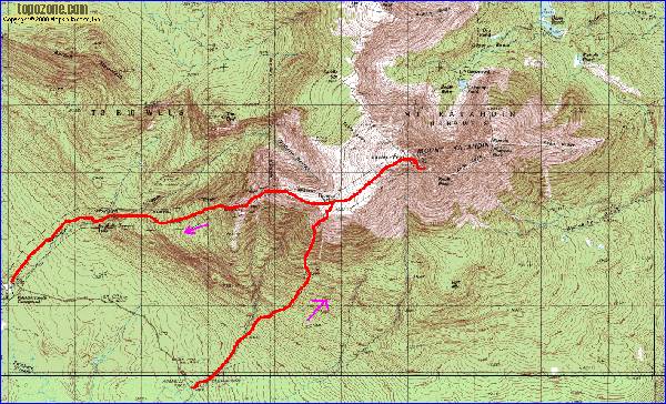
Thursday: Mt. Katahdin Hike
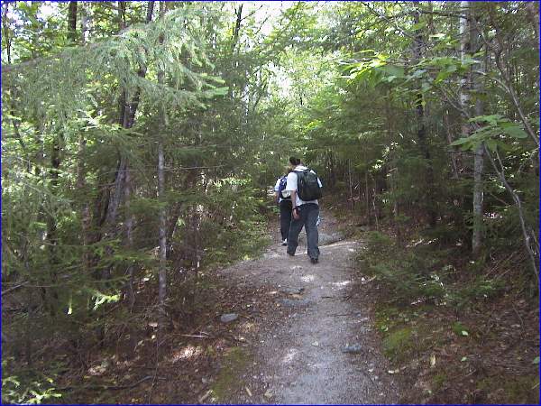
Starting up the Abol trail.
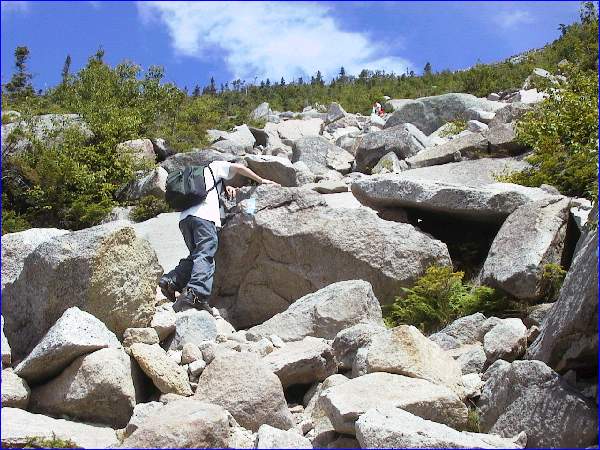
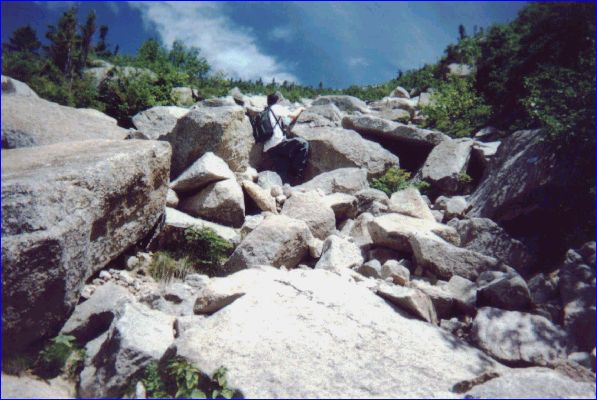
Starting to climb the slide
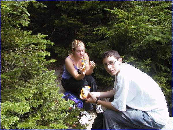
Lunch Time

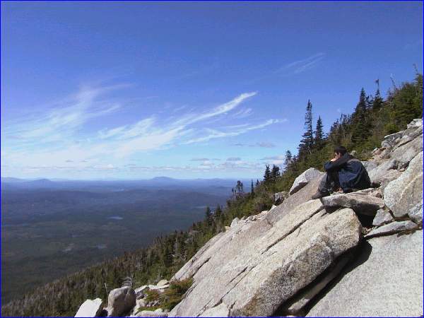
almost above tree line
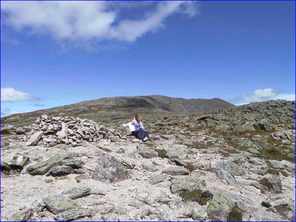
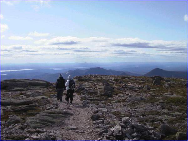
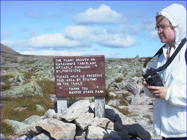
On the "tableland"
(peak still 1 mile away)
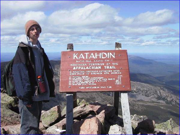
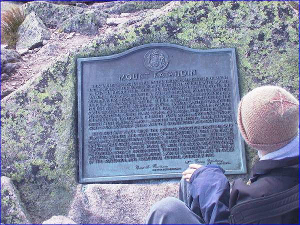
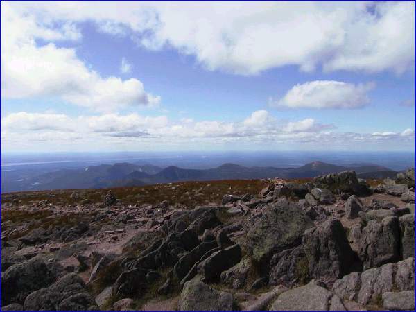
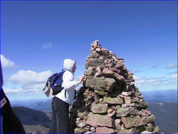
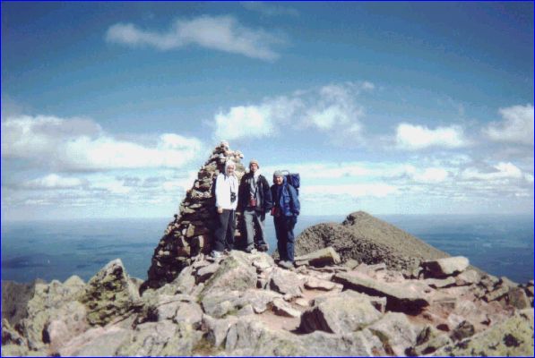
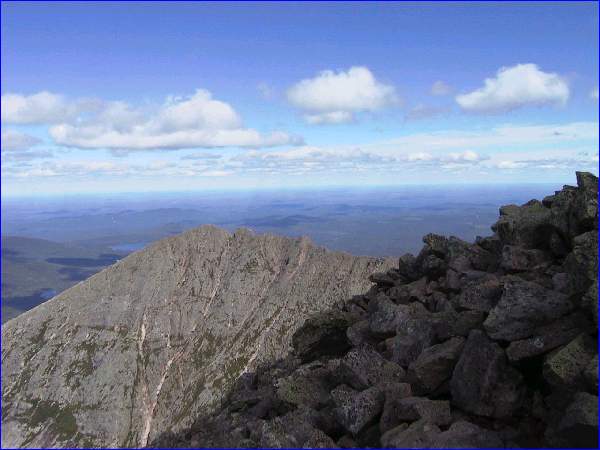
On top of Baxter Peak!
Click on thumbnail to view higher
Close new window or click in
-
-
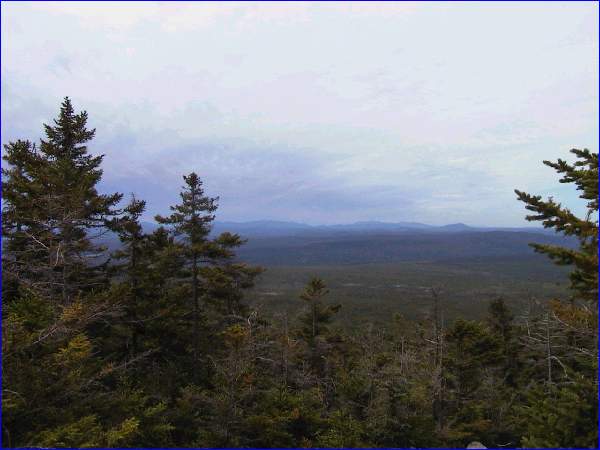
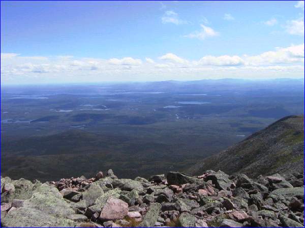
View around
area.
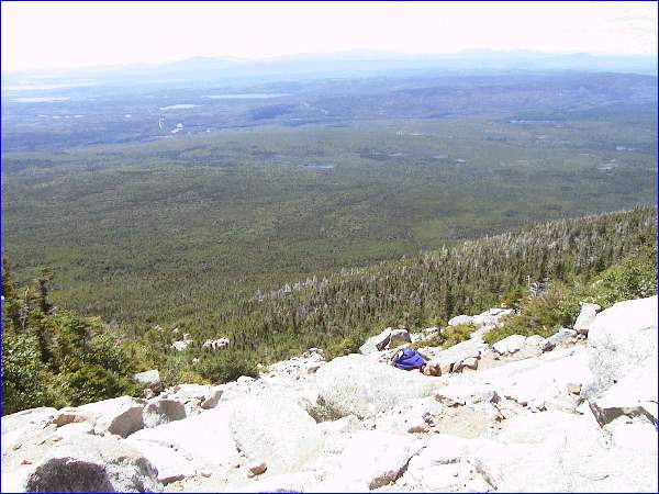
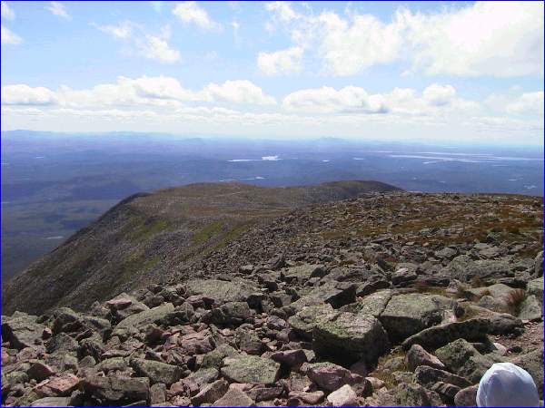
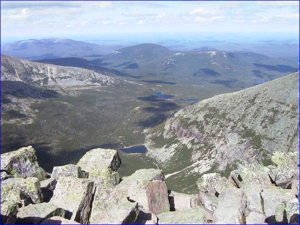
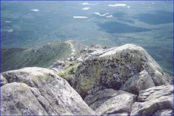
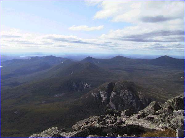
Looking down
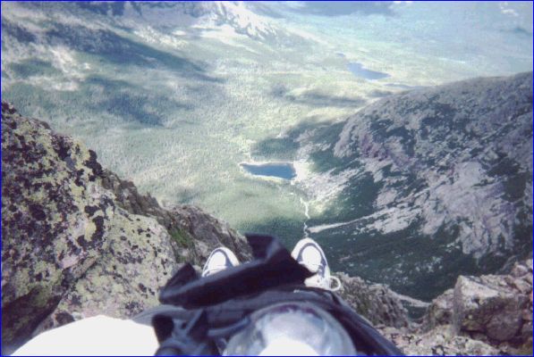
into galcial cirque---Chimney Pond
area.
higher resolution picture in
new window;
Close new window or click in
bottom bar to return.
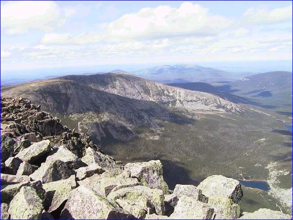
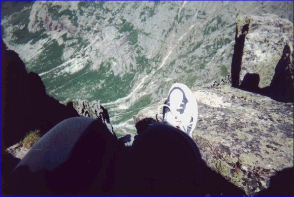
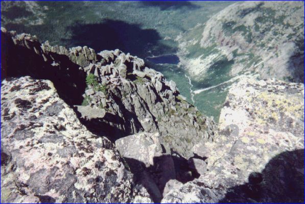
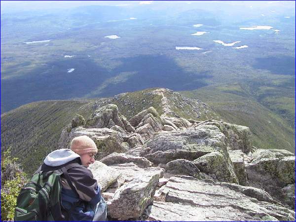
View of Knife-Edge--
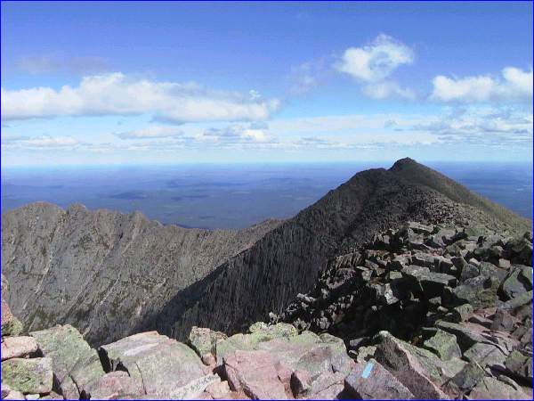
Pamona Peak at right.
Starting down Hunt Trail
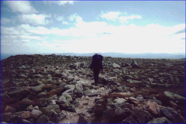
(Appalachian Trail)
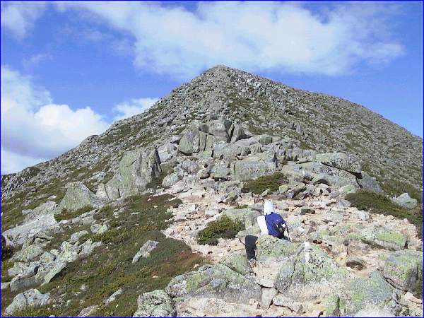
Edge of tableland.
Trail goes down along the ridge.
higher resolution picture in
new window.
Close new window or click in
bottom bar to return.
Looking back up the trail.
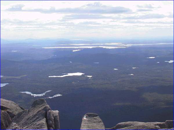
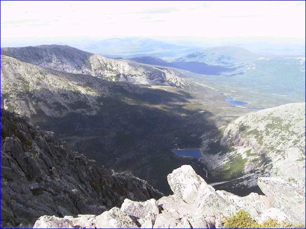
View of Lake area.
Katahdin Falls (1 mi from end)
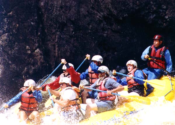
Friday: Whitewater Rafting

on the Penobscot..
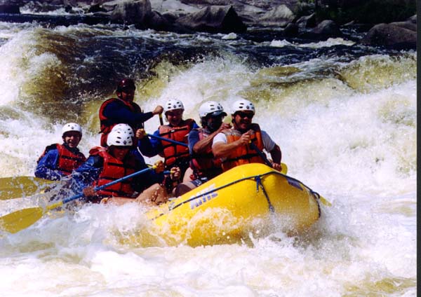
(More pictures to come later)
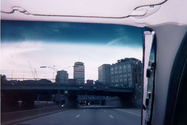
Saturday: A stop in Boston for

dinner on the way home.
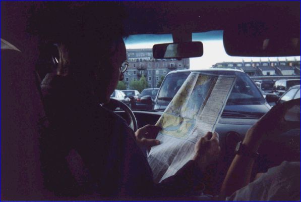
How do we get to the highway?